No, this is a private guided experience exclusively for your group. You won't be joined by strangers.
The Experience ✨
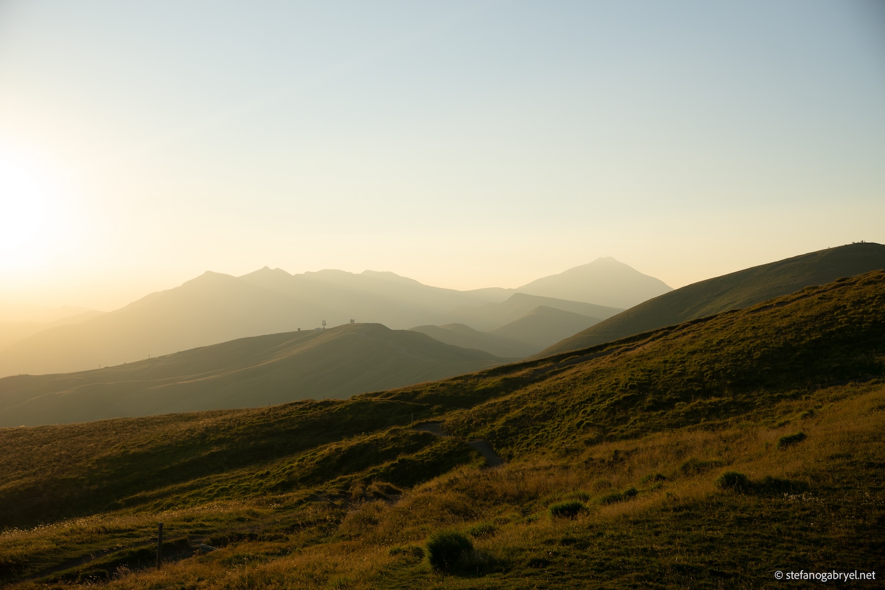
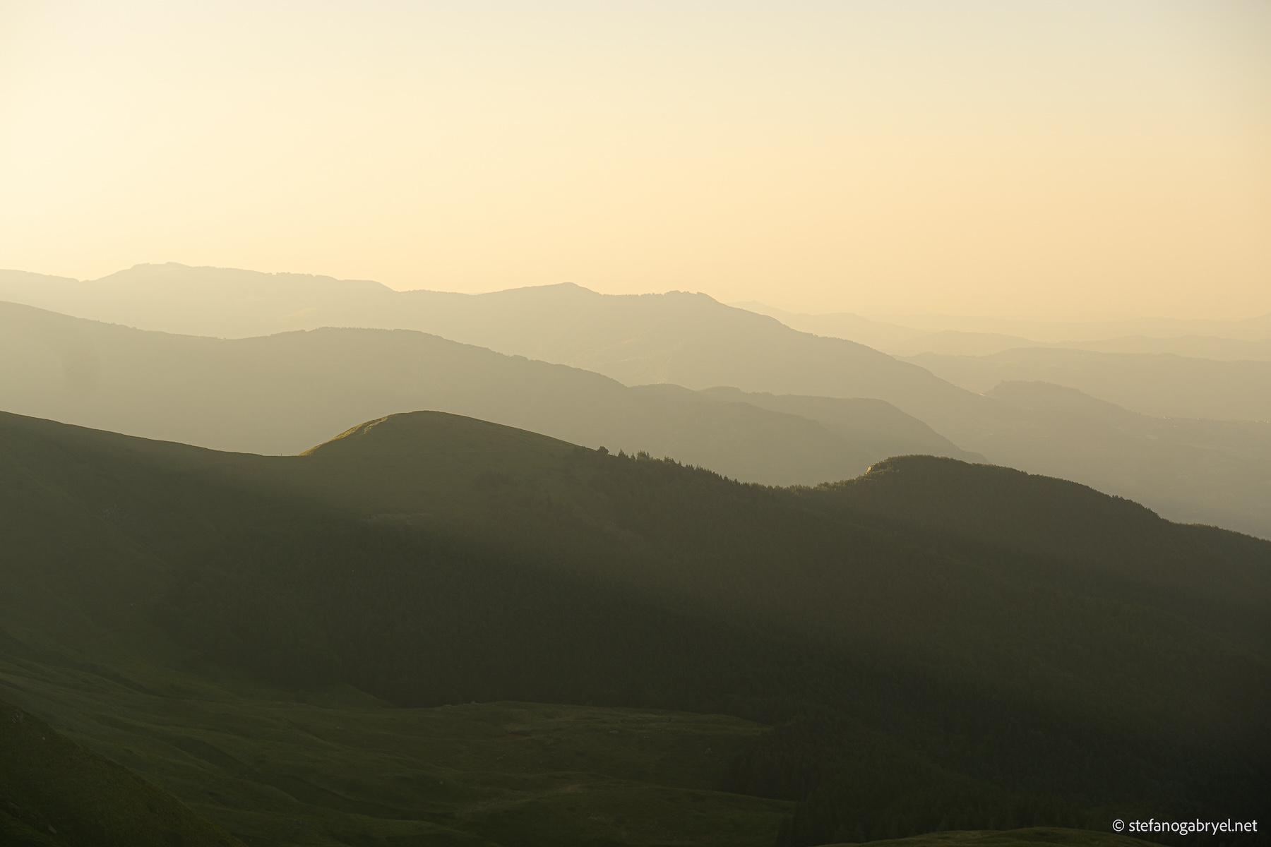
Monte Gennaio (1814 m) is one of the most significant peaks in the Pistoiese Mountains, dominating the heart of the Tuscan-Emilian Apennines. This hike offers a complete mountain experience, moving from dense forest to the exposed border ridge.
Highlights and Scenery
- Border Ridge: The route leads you directly onto the main ridge, where you walk along the border between Tuscany and Emilia-Romagna. From the summit, you get sweeping 360° views, looking down upon the wild Orsigna Valley and across to the Corno alle Scale peaks.
- Beech Forest Immersion: The ascent often winds through beautiful, historic Beech Forests (Faggete), providing a cool, shaded environment before you emerge onto the high-altitude meadows.
This trek is highly recommended for hikers seeking a challenging but rewarding climb to conquer a crucial summit of the Apennine range.
Price 240 EUR per Group.
Fully private. Just your group and your guide.
Reach out to book your experience!

Status online.
Starting Altitude
1320mt
Distance
9.5km
Elevation Gain
500mt
Duration
6h
Difficulty ⛰️
Medium-HardThe main challenge is the sustained physical effort required due to the significant elevation gain. The ascent is demanding and requires a good level of physical fitness. The final section leading to the summit is particularly steep, traversing high-altitude open terrain, though it does not require any climbing or use of fixed ropes. Physical Fitness: This hike is best suited for experienced walkers and physically fit children aged 14 and older who are accustomed to sustained effort and mountain environments. |
All gallery images are original photographs taken on location by me.
Starting point 📍
The hike starts directly in a small mountain village high in the Apennines.
Due to limited public transport options serving this historic site, participants must arrive via personal vehicle.
Approximate Driving Distances
- Pistoia: 40 km
- Montecatini Terme: 55 km
- Lucca: 56 km
- Prato: 58 km
- Pisa: 75 km
- Firenze (Florence): 95 km
The precise meeting location and starting point coordinates will be shared with all participants 24 hours prior to the scheduled hike date.
🙌 Need help getting there? 🙌
If getting to the meeting point is difficult, just let me know — we can usually figure something out.
Private Experience 🌲️
- Group Size and Capacity: This is a private experience with a capacity of up to 8 participants. For larger groups, an additional guide is required, and a surcharge will be applied to cover the added resource.
- Customization Options: This is a fully customizable private experience. We can adjust the route, starting point, and start time to perfectly fit your group's needs and preferences. Customizations can include an early start to catch the sunrise or modification of the route for different difficulty levels.
Must Have 🚩
To ensure the best possible experience and your personal comfort throughout the trek, please consider these items mandatory. Being fully prepared allows us to focus entirely on enjoying the beautiful Tuscan trails.
Participants are responsible for bringing all necessary gear, food, and water.
| Hiking Boots | ✅ |
| 1.5 LT of Water (minimum, per person) | ✅ |
| Backpack | ✅ |
| Layered clothing | ✅ |
| Windbreaker (Shell Jacket) | ✅ |
| High-Energy Trail Snacks | ✅ |
Your Guide 🧭
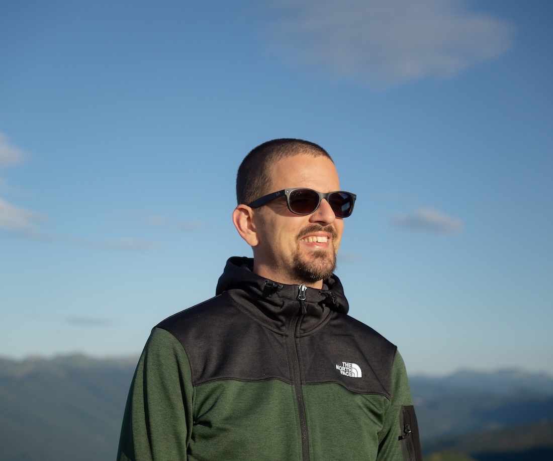
Stefano Gabryel
I am a certified GAE Hiking Guide and Nature Photographer in Tuscany. I specialize in exclusive, slow-paced trekking on hidden mountain tracks, showing private groups the region's wild, pure beauty with a photographer's discerning eye.
| Nationality Italian | Languages English, Italian |
Frequently Asked Questions 🙋
- Will there be other people joining us?
- At what time do we meet?
The starting time is flexible and can be customized based on your preferences and my availability. When booking, let me know your ideal timing.
- Can we do a sunrise or sunset hike?
Absolutely! I'm always happy to adjust timing to create the most memorable experience. Sunrise and sunset hikes offer exceptional light for photography. Just mention this when you reach out.
- Can the itinerary be customized?
Yes. While I design each hike with specific highlights in mind, I can adjust pace, stops, and focus areas based on your interests.
- Can you take photos of me and my group?
Of course! When booking, specify that you're interested in a photo session. For an additional fee, I'll capture your experience professionally throughout the hike.
- Do you provide photography tips during the hike?
Yes, I share composition and technical guidance as we go. However, if you want dedicated time for tripod work and landscape photography, let me know in advance so I can plan our schedule accordingly. This allows me to adjust the itinerary for optimal light, manage timing in mountain areas where daylight is limited, and factor in any price adjustment needed for the extended duration.
- What fitness level is required?
This varies by hike. Each route page specifies difficulty, elevation gain, and duration. If you're unsure whether a hike suits your fitness level, contact me and I'll help you choose the right one.
- What's included in the price?
- Professional guiding services
- Route planning and safety management
- Nature interpretation (landscape, flora, fauna, fungi identification)
- Basic photography guidance
- What's NOT included?
- Transportation to/from the trailhead
- Food and drinks
- Personal equipment
- Optional photography session (available as add-on)
- Accommodation
- Do you provide food and water?
No, participants bring their own food and water. I can recommend appropriate quantities and suggest local shops or markets where you can purchase supplies before the hike.
- How do I book?
Contact me directly with your preferred date, group size, and any special requests. I'll confirm availability and provide booking details.
- What's your cancellation policy?
Full refund if cancelled 7+ days in advance, 50% refund 3-7 days before, no refund within 72 hours.
- What happens if the weather is bad?
Safety is my priority. If conditions are unsafe, I'll contact you to reschedule or suggest an alternative route at lower elevation. I monitor weather forecasts closely and make the final decision based on real-time conditions.
- What if I'm running late?
Contact me immediately. Depending on how late and which hike, we may need to shorten the route or reschedule. Mountain hikes require sufficient daylight, so late starts can compromise safety.
- What languages do you speak?
Italian and English.
- Are dogs allowed?
Yes, and they must be on a leash at all times.
- Do I need insurance?
I carry professional liability insurance. I recommend participants have personal travel/medical insurance that covers hiking activities.
- What if I need help to reach the starting point?
If getting to the meeting point is difficult, just let me know — we can usually figure something out.