
I'm Stefano, and I guide people through the Tuscany most tourists never see. Want to hike in Tuscany with me?
Last updated 21 October 2026
The E1 trail starts at the North Cape in Norway and ends at Capo Passero, the southern tip of Sicily, some 7,000 kilometres later. For about 380 of those kilometres the European long-distance path follows the Apennine ridge along Tuscany’s northern border, mostly on the line of the GEA, the Grande Escursione Appenninica. It passes near five of the eight day hikes I guide.
Italians call it the Sentiero Europeo E1. I guide on the western half of that ridge, so I’ll describe the E1 as I know it from there: where it runs, how its 22 Tuscan stages break down, what you’ll actually follow on the ground, and which of my day hikes are nearby.
Walking the E1 through Tuscany, or just curious about it? Five of my private day hikes are nearby. See the route and the hikes on a map
Where the E1 Runs in Tuscany
The Tuscan section, as the Italian hiking federation (FIE) numbers it, begins at Passo dei Due Santi, 1,392 metres up on the Lunigiana border. That’s a short way from the point where Tuscany meets Liguria and Emilia. Twenty-two stages later it ends at Bocca Trabaria, 1,049 metres, on the border between Umbria and Marche. In between it hardly ever strays from the watershed, and I’ve drawn the whole line on the map further down.
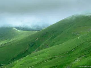
The high ground runs from stage 3 to stage 9, where the path stays mostly above 1,500 metres. On the stage from Passo di Pradarena to Passo delle Radici the path goes straight over the summit of Monte Prado, at 2,054 metres the highest mountain in Tuscany. East of the Futa pass the ridge drops into long beech forests and crosses the Foreste Casentinesi national park. It comes down to La Verna, where Saint Francis is said to have received the stigmata in 1224. Stage 20 finishes in Caprese Michelangelo, the village where Michelangelo was born.
Why the Signs Often Say GEA
In Tuscany the GEA came first. Gianfranco Bracci and Alfonso Bietolini drew it up in 1981. It opened in June 1983, with Reinhold Messner at the inauguration. The E1 is older, dating back to 1972, but through Tuscany it largely follows the GEA’s line.
So on the ground you’ll often be following GEA waymarks, red-and-white flags with GEA painted in black across the middle. Where the two part company, look for the red-and-white marks lettered E1. Local walking associations keep those up stage by stage, under the FIE. I’d still have a map open on those stretches.
E1 Trail Map: The Tuscan Section, Stage by Stage
The map draws the E1 hiking trail as its 22 Tuscan stages are mapped on OpenStreetMap. The pins are the trailheads of the five walks I guide nearby. Open one and it shows the nearest stage end and how far that walk starts from the line.
Abetone stage · 0.2 km from the route
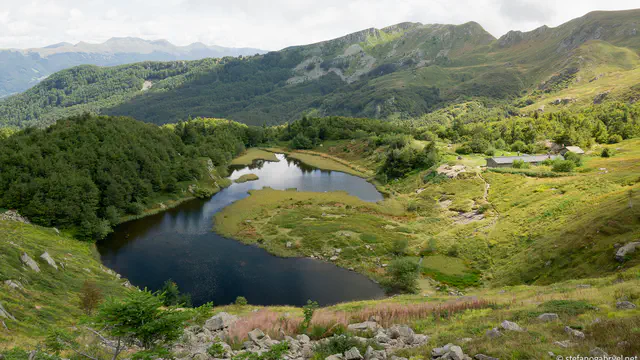
Lago Nero
Cascina di Spedaletto stage · on the route
Acquerino-Cantagallo Private Tour
Lago Scaffaiolo stage · 1.4 km from the route
Monte Gennaio Summit Tour
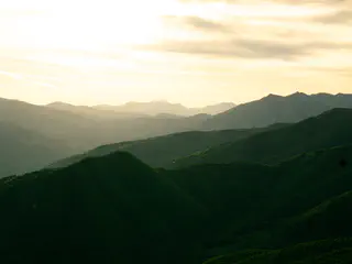
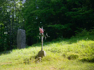
Cascina di Spedaletto stage · 0.8 km from the route
Riserva Biogenetica Acquerino
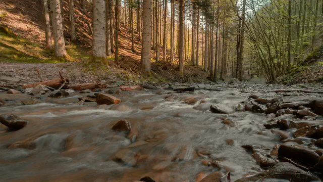
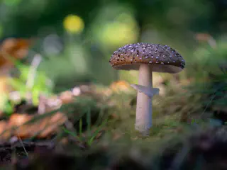
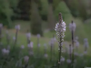
Lago Scaffaiolo stage · 1.0 km from the route
Scaffaiolo Lake Private Tour
E1, 378 km where my hikes start Route data © OpenStreetMap contributors
| Stage | From | To | km |
|---|---|---|---|
| 1 | Passo dei Due Santi | Passo della Cisa | 24.8 |
| 2 | Passo della Cisa | Lago Santo Parmense | 15.9 |
| 3 | Lago Santo Parmense | Passo del Lagastrello | 15.3 |
| 4 | Passo del Lagastrello | Passo del Cerreto | 13.6 |
| 5 | Passo del Cerreto | Passo di Pradarena | 10.9 |
| 6 | Passo di Pradarena | Passo delle Radici | 22.7 |
| 7 | Passo delle Radici | Lago Santo Modenese | 15.7 |
| 8 | Lago Santo Modenese | Abetone | 14.8 |
| 9 | Abetone | Lago Scaffaiolo | 16.2 |
| 10 | Lago Scaffaiolo | Pracchia | 15.0 |
| 11 | Pracchia | Cascina di Spedaletto | 16.8 |
| 12 | Cascina di Spedaletto | Montepiano | 24.0 |
| 13 | Montepiano | Passo della Futa | 13.8 |
| 14 | Passo della Futa | Giogo di Scarperia | 13.6 |
| 15 | Giogo di Scarperia | Passo della Colla | 11.5 |
| 16 | Passo della Colla | Passo del Muraglione | 23.6 |
| 17 | Passo del Muraglione | Passo della Calla | 15.3 |
| 18 | Passo della Calla | Badia Prataglia | 15.0 |
| 19 | Badia Prataglia | Chiusi della Verna | 25.9 |
| 20 | Chiusi della Verna | Caprese Michelangelo | 16.0 |
| 21 | Caprese Michelangelo | Passo di Viamaggio | 17.3 |
| 22 | Passo di Viamaggio | Bocca Trabaria | 20.7 |
I measured those distances on the mapped line, and they add up to 378 kilometres. The other totals I found for the section, 381 km and about 402, don’t agree with each other either. Treat all three as planning numbers. Several stage ends sit right on the regional border, and Lago Santo Parmense and Lago Santo Modenese are both on the Emilian side of it.
Five Day Hikes Near the E1
I don’t guide the E1 end to end, and I don’t run multi-day walks at all. What I can offer an E1 walker, or anyone drawn to a path that runs from the Arctic to Sicily, is a day near one stretch of it with someone who knows that ground well. All five walks start on the western half of the ridge, near stages 8 to 12, between Lago Nero and Montepiano. By road they’re 23 to 53 kilometres from Pistoia.
Lago Scaffaiolo, Where Two Stages Meet
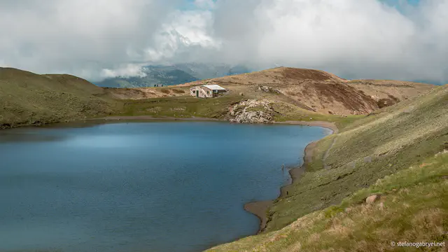
The lake lies at 1,775 metres in a hollow on the crest, right on the regional border. Stage 9 from Abetone ends here, and stage 10 to Pracchia starts. The Rifugio Duca degli Abruzzi stands at the water’s edge and lists its season as 1 June to 30 September. I’ve eaten tagliatelle with porcini in there after a morning on the crest, with the wind pushing at the windows. My walk to the lake starts nearby, at roughly 1,500 metres. It’s 9.5 km there and back, with 370 metres of climbing.

Lago Scaffaiolo
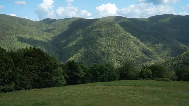
Once you’re up, the path runs along a broad, grassy crest to the lake, with Tuscany on one side and Emilia-Romagna on the other.
- About 6 hours
- €240 per group
- Shorter or longer day on request
Medium · 9.5 km (5.9 mi) · 370 m (1,214 ft) ascent
View this hikeLago Nero and Monte Gennaio, a Few Hundred Metres Off
On stage 8, between Lago Santo Modenese and Abetone, the E1 passes about a hundred metres from Lago Nero. The tarn lies at 1,730 metres, dark water between Alpe delle Tre Potenze and Monte Gomito. My walk there starts close by, and over 8 km it climbs 450 metres, most of it in forest.
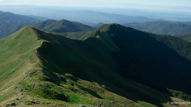
Stage 10 follows the border ridge from Scaffaiolo toward Pracchia and passes about 250 metres from the top of Monte Gennaio, 1,814 metres. That walk asks the most of the five, 500 metres of ascent over 9.5 km with a steep, open finish. I keep it for walkers who are used to a full mountain day.
The Two Acquerino Reserves, Near Stage 12
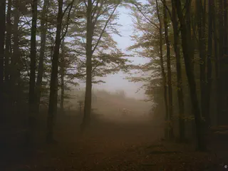
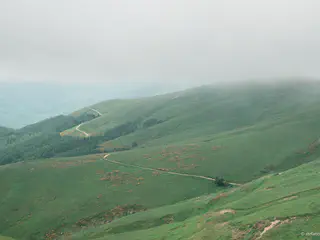
My Acquerino-Cantagallo walk starts near Cascina di Spedaletto, where stage 11 hands over to stage 12 for Montepiano. Old beech and oak fill the reserve, with stands of pine, and on most days you’ll have the trail pretty much to yourself. The day comes to 9.5 km with 350 metres of climbing.

Acquerino-Cantagallo
- About 6 hours
- €240 per group
- Shorter or longer day on request
Medium · 9.5 km (5.9 mi) · 350 m (1,148 ft) ascent
View this hikeAcross the provincial boundary, my Riserva Acquerino walk on the Pistoia side starts close to the same stretch. It’s the gentlest of the five, 10.9 km and 375 metres through red-deer country. Children from about twelve manage it fine if they’re used to a proper day on their feet.
Walking the E1 in Tuscany: Practical Notes
- I’d keep the high stages for summer and early autumn. Snow lingers in the shaded gullies under the crest into May, and several of the huts only open for the summer season.
- The GEA was laid out so that every stage ends where you can eat and sleep, which up here means mountain huts, small hotels and rooms in villages, so book ahead and check opening dates.
- Pracchia, the end of stage 10, has a station on the old Porrettana railway with regional trains down to Pistoia. That’s where I’d join or leave the ridge without a car.
- The Sentiero europeo E1 guide from D.R.E.Am. Italia has the whole section on 38 maps at 1:50,000, and the FIE’s free FIEMaps app shows the stages.
- Wind is the constant on the crest, and I’ve seen a clear morning ridge disappear into cloud before I was back down. In an emergency, the number is 112.
The Ground I Know Best
On this line I’m at home in the mountains north of Pistoia, from the ridge above Abetone down to the Acquerino forests, which is why all five walks start there. Further south-west I also guide around Lucca and in the mountains near Pisa, and either makes a good rest day off the ridge: trains from Pracchia run down to Pistoia, and Lucca and Pisa are on the lines beyond it.
If you’re walking the E1 on your own, I can do for you what I do for people on the Via Francigena and write you an Expert Brief, €65, with my read on which stages are worth your days and what the ridge is likely to be doing in the month you come. Otherwise there are the five walks above, and each card on the map names the nearest stage end. Pick the walk closest to your stage.
Frequently asked questions
A Day Near the E1 With a Local Guide
Passing through on the E1, or planning to? Tell me which stretch you’ll be near and when, and I’ll tell you which of my five walks fits the day. Get in touch. Planning the whole section alone? The Expert Brief is independent advice, no commissions.